
What Many Are Missing When Planning Their Trip to Vancouver Island
When most people dream up a visit to Vancouver Island, a few places jump to mind: Tofino, Victoria, and popular north-island stops like Telegraph Cove. And while those destinations absolutely deserve their reputations, they’re only the beginning of what this island has to offer.
Tucked between Campbell River and Port McNeill lies an underrated gem—the Nimpkish Valley region—a place where true adventure awaits, surrounded by wild forests, deep lakes, and endless gravel roads that lead to some of the quietest, most scenic landscapes on the island.

View of Pinder Mountain from camp at Atluck Lake
Enter the Nimpkish Region
This region has to travel across the areas of Sayward, Woss, and Zeballos, making it a perfect hub for backroad explorers, campers, paddlers, and overlanders seeking a week-long escape into nature.
If you're starting from the south island, follow Highway 19 north toward Campbell River. Once you pass through, keep an eye out—this is where the fun truly begins. There’s no single “right” route through Nimpkish Valley, which is half the adventure. Every direction leads to lakes, mountains, and remote recreation sites.
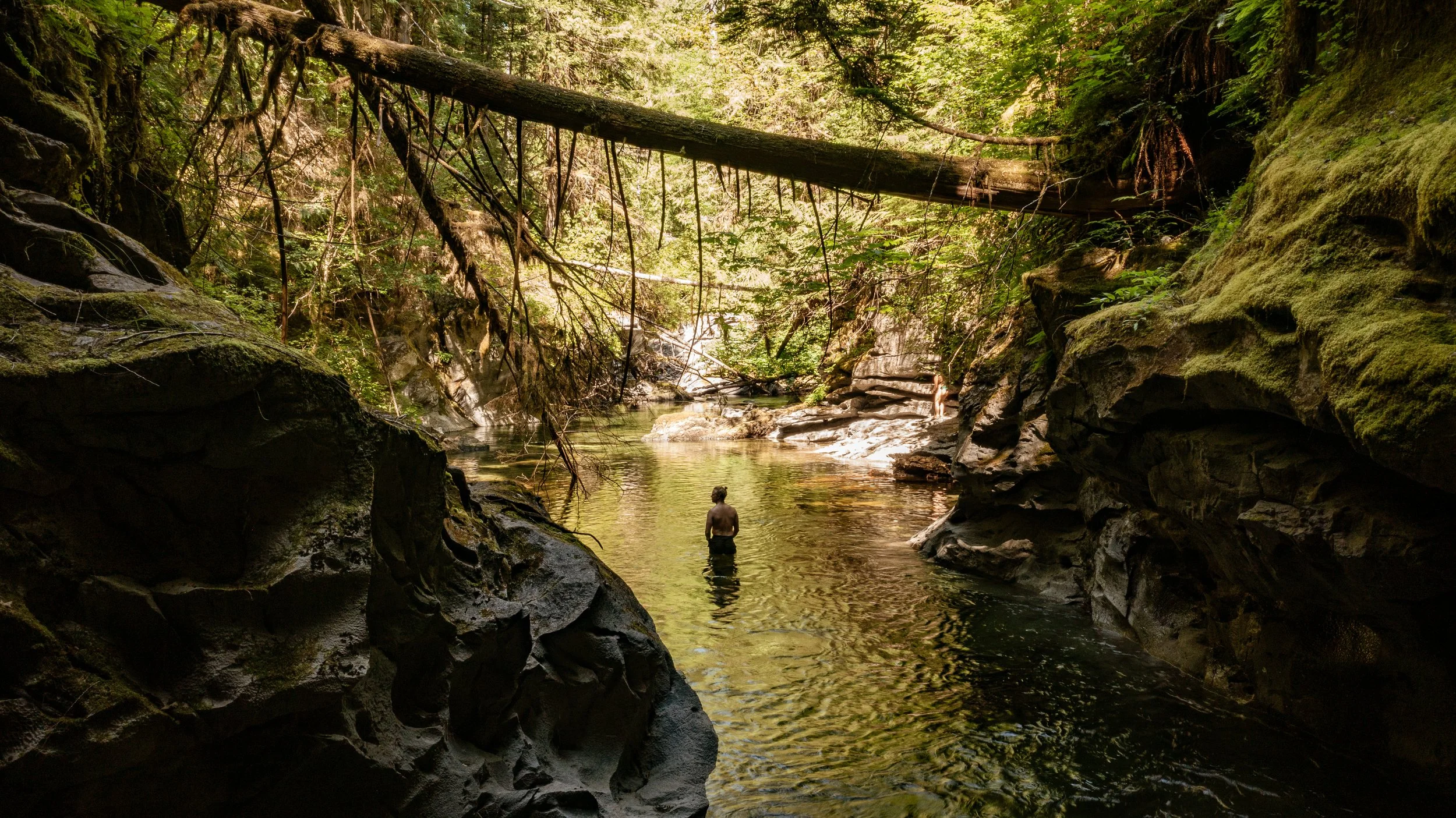
Vernon Lake – A Worthwhile First Night
For those choosing the Gold River route on your way toward Woss, Vernon Lake makes an excellent first camp spot. It’s peaceful, spacious, and perfect for kayaks or an evening swim.
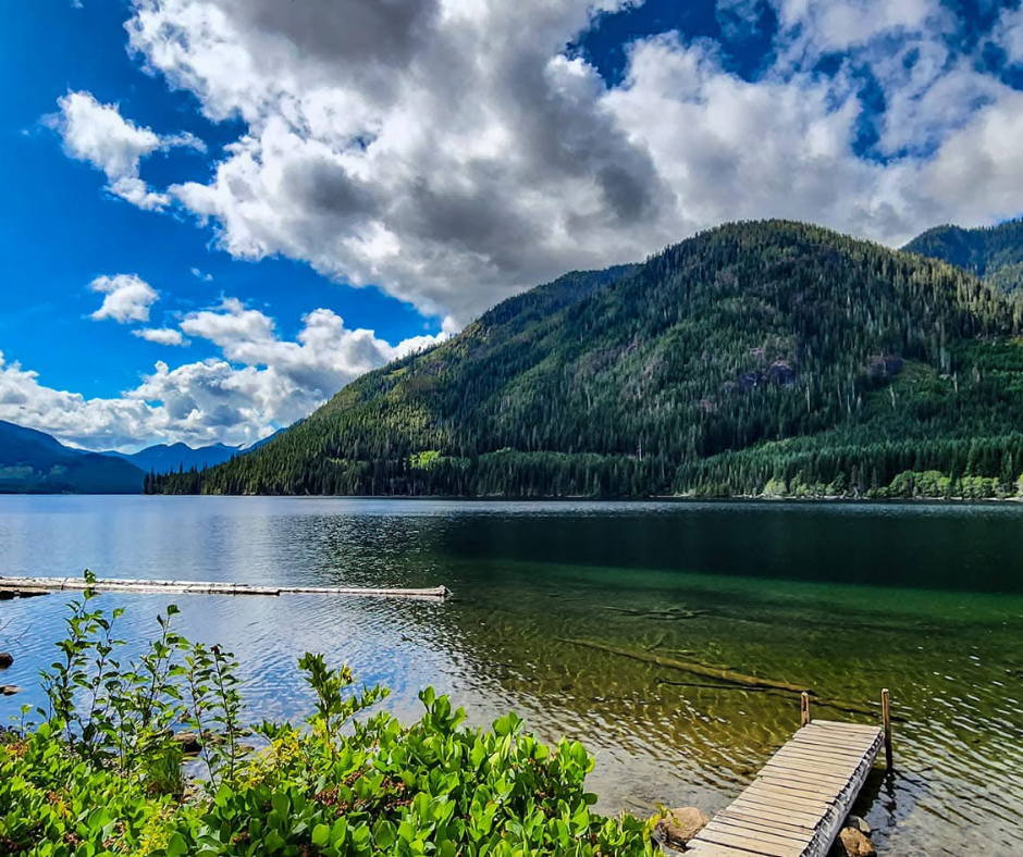
Vernon Lake
Driving Directions:
Travel north on Highway 19 and turn left at the Mt. Cain / Schoen Lake turnoff.
Turn right at the junction and follow Nimpkish Main over the Davie River.
After ~2.5 km, stay right and continue along Nimpkish Main.
Pass Lower Klaklakama Lake on your left.
Continue until you reach the A-frame/loadout railway at the 102 km marker—drive straight across the tracks.
Before the 103 km marker, veer right onto Back Road and follow for ~5 minutes.
At the next junction, stay left. The rec site will be on your right soon after.
⏱ Approx. 30–45 minutes from the highway on gravel.
Tip: Drive with lights on—this is active logging country.
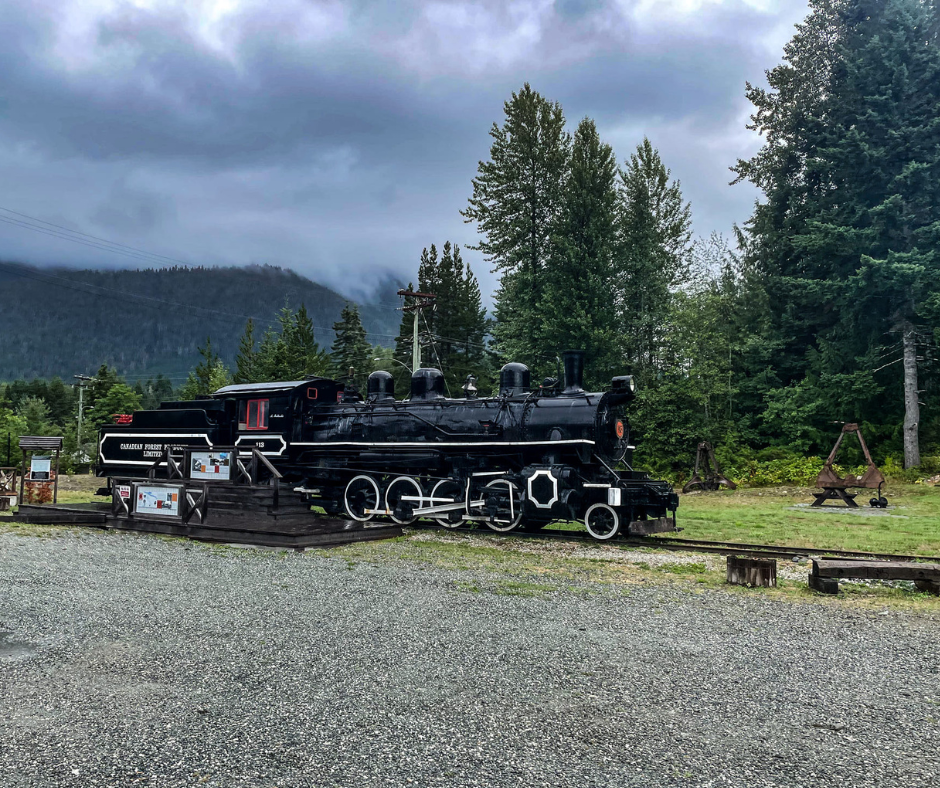
Woss Heritage Park - located 30 minutes north of Vernon Lake.
Alternative Coastal Stop: Elk Bay Recreation Site
Driving Directions:
From Campbell River, head north on Highway 19. Turn right just after Roberts Lake, onto the Elk Bay road (gravel) - about 33 km from town. Drive 11.3 km from the highway and you'll come to the junction of the Stella Lake road. Turn right, follow it for another 3.2 km and the road will split (log dump area straight ahead). Make a sharp right and carry on for another 0.7 km - you should reach the entrance to the main part of the site. The entrance to the small site is another 400 metres down the road.
If Vernon Lake isn’t on your itinerary—or if you want one last oceanfront camp before diving into the backroads—head toward Browns Bay and continue to Elk Bay Recreation Site.
This is a favourite for travellers wanting:
Beachfront camping
Whale-watching opportunities
Quiet evenings along the ocean
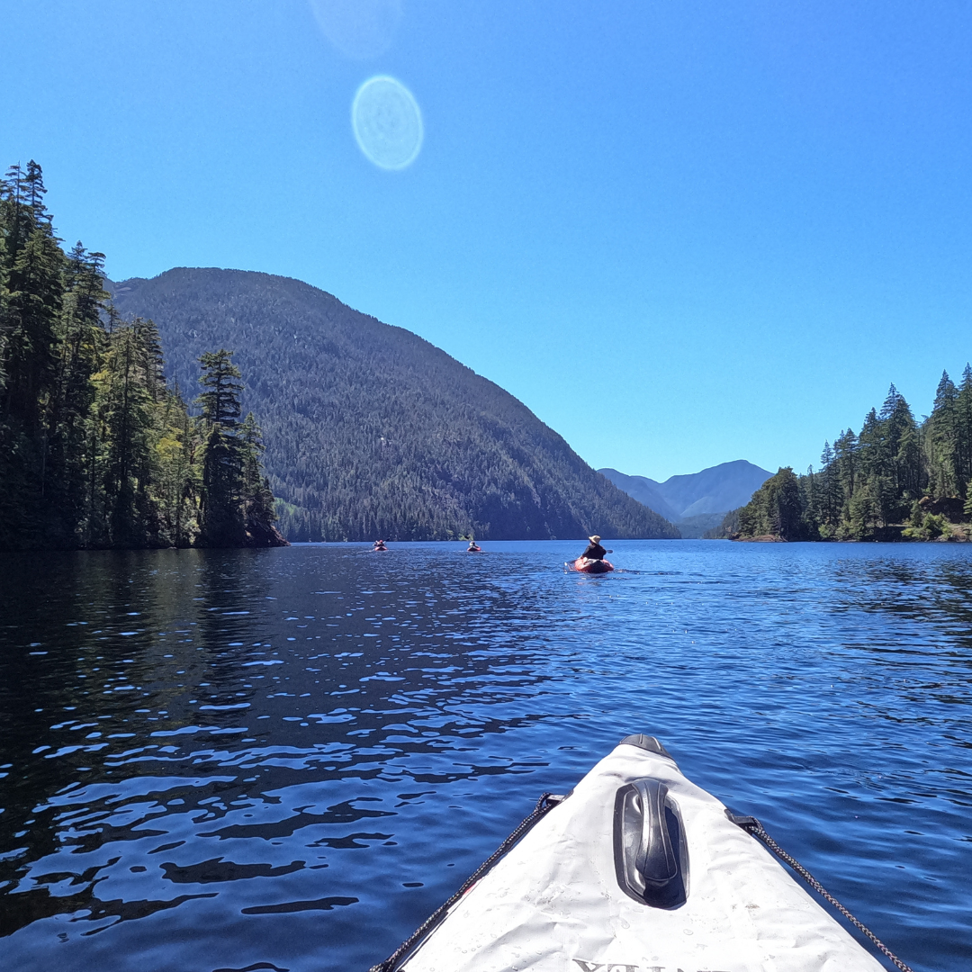
The Heart of It All: Nimpkish Lake Region
The Nimpkish area is packed with recreation sites:
Vernon Lake
Woss Lake
Nimpkish Lake
And many smaller hidden lakes tucked into the surrounding area.
From paddleboarding to trail wandering to simple campfire evenings, the opportunities are endless.
Further Adventure: Little Huson Caves & Lakeside Loops
Ready to explore deeper into backcountry Vancouver Island? Head toward Zeballos, where the Little Huson Caves sit tucked within old-growth forest.
Directions to Little Huson Caves:
Exit Highway 19 at the Zeballos junction, ~150 km north of Campbell River
Follow Zeballos Mainline as it parallels the highway, then curves left
Continue 2.8 km, passing Nimpkish Main on the right
Cross the bridge over the Nimpkish River
Stay right at the fork to continue toward Zeballos
At 350 m, turn right onto Atluck Forest Service Road
After 2.7 km, turn left to stay on Atluck FSR
Continue 1.8 km
Keep left at the next junction
Continue 350 m, then turn right onto HU100
Follow 2.3 km to the Little Huson Caves parking lot
This loop includes several lakes—Anutz, Huson, and Atluck—each with quiet rec sites only 20–30 minutes off Highway 19.
Tip: These are active logging roads. Expect dust, drive slowly, and yield to logging trucks.
Paddling across Atluck Lake.
We’ve visited Atluck Lake ourselves and highly recommend it. With multiple lakeside campsites, calm waters, and a small beach with a waterfall opposite the main rec site, it’s a perfect mid-trip stop.
End of the Road: The Village of Zeballos
If your adventure isn’t over yet, don’t miss the wild west-coast charm of Zeballos.
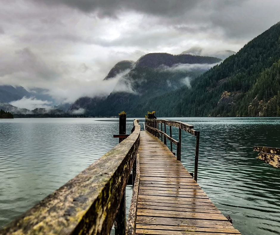
This deep-sea port town sits at the end of Zeballos Inlet on the traditional territory of the Ehattesaht Chinehkint First Nation. It feels far removed from the rest of the island—rugged, quiet, and surrounded by sharp mountains.
What to Do in Zeballos:
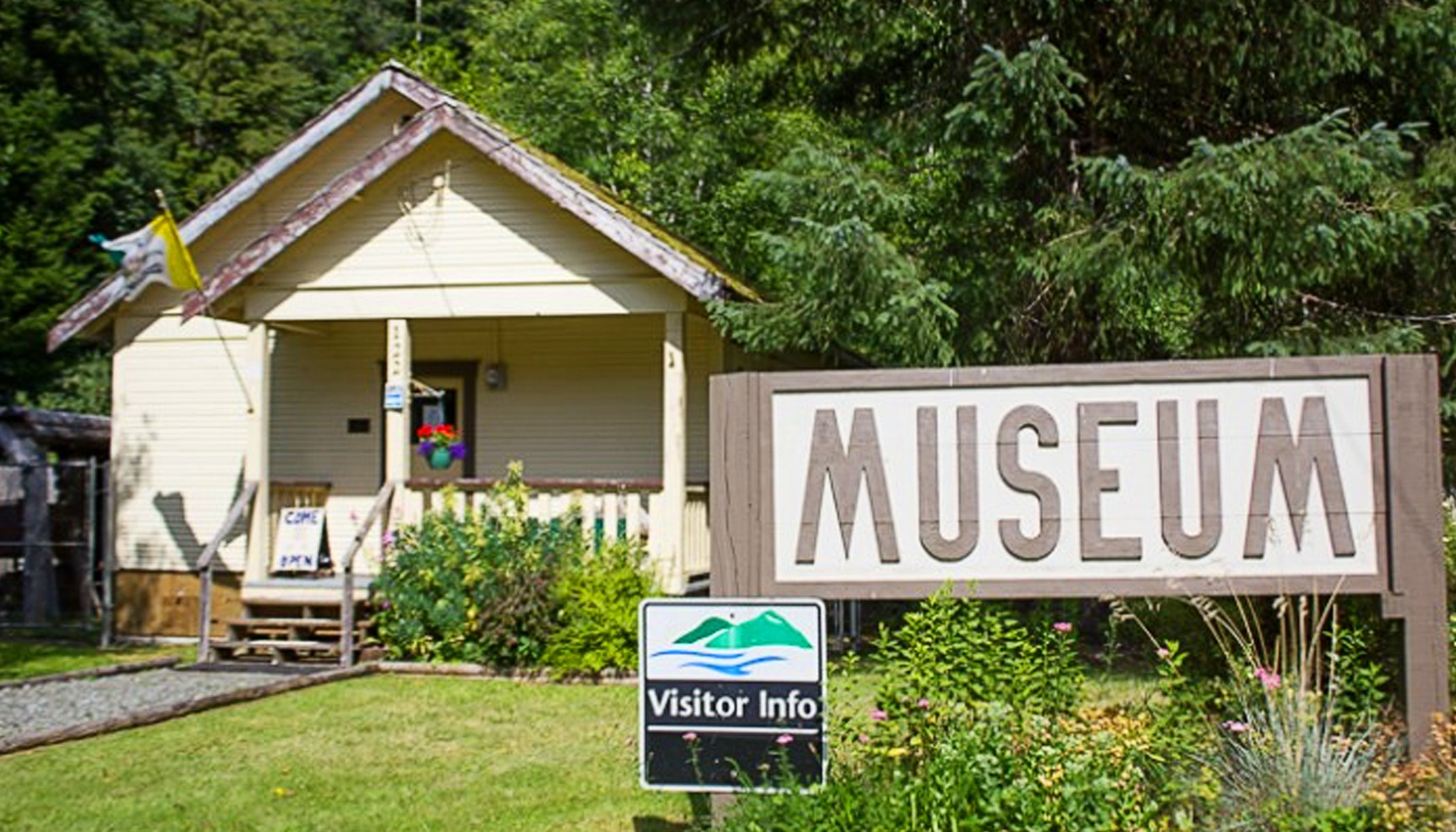
Visit the local museum and learn the mining and coastal history
Walk the waterfront
Check out local shops and cafés
Meet some of the friendliest small-town locals on the island
Where to Camp:
Resolution Recreation Site (Rhodes Creek)
5 km from the village on the road to Fair Harbour
7 sites, fire pits, picnic tables
Outhouses and a high-tide boat launch
Free, first-come-first-served
Great for kayakers, boaters, and those seeking peace
Tip: Need a shower? Head to the marina with a few loonies. Clean, simple facilities perfect after a dusty day.
If you prefer amenities, the Zeballos RV Park hosts 20 serviced sites for self-contained units—but we personally lean toward the free, wild spots for true outdoor freedom.
Resolution Recreation Site (Rhodes Creek)
